
 A mountain village in a spectacular location in the center of the Peloponnese, which offers the possibility to make nice hikes and many other sport activities on the two rivers that meet at his feet. In summer it is also an opportunity to sleep in a cool place! 🙂
[sam id=”7″]
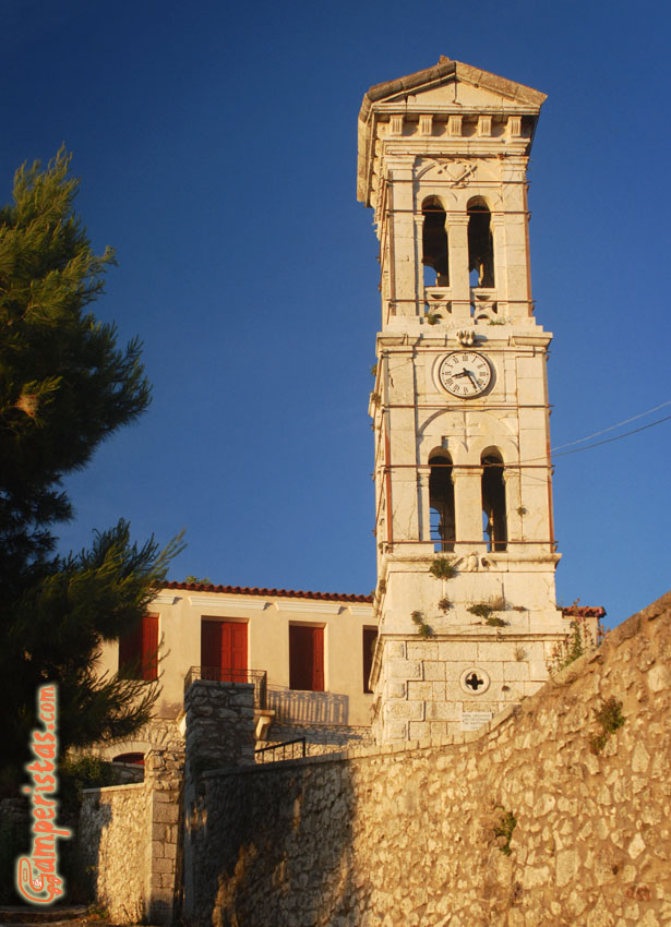
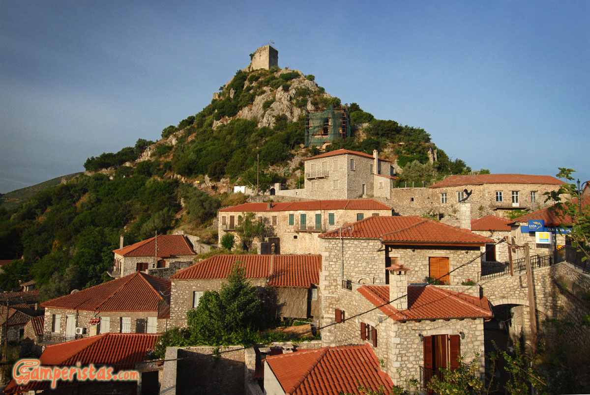
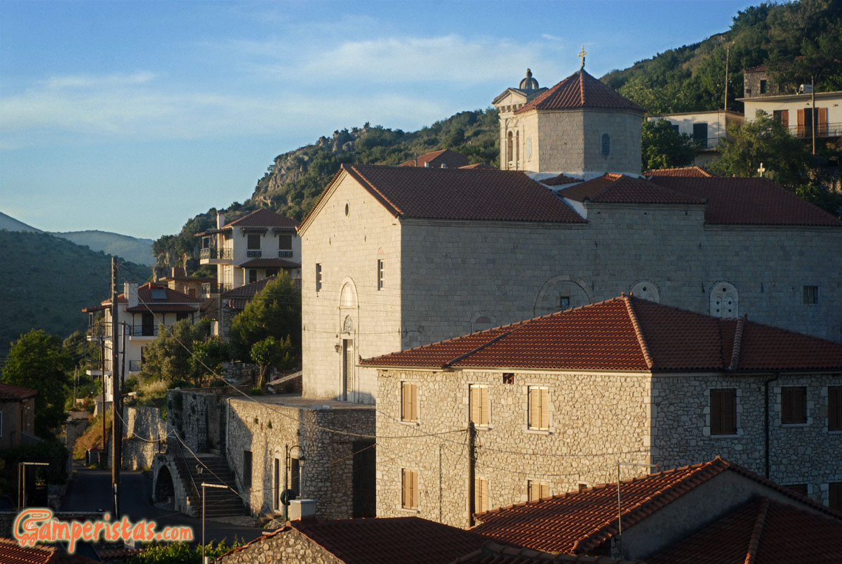
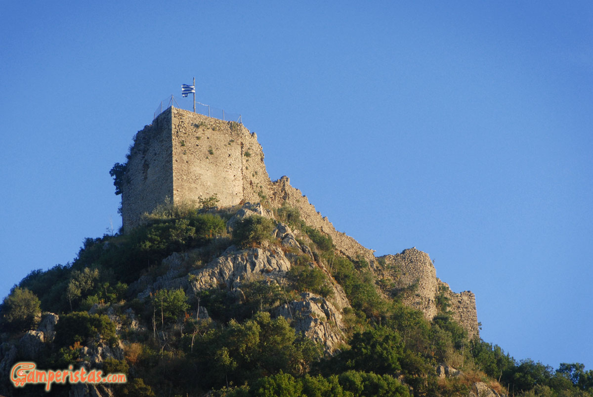
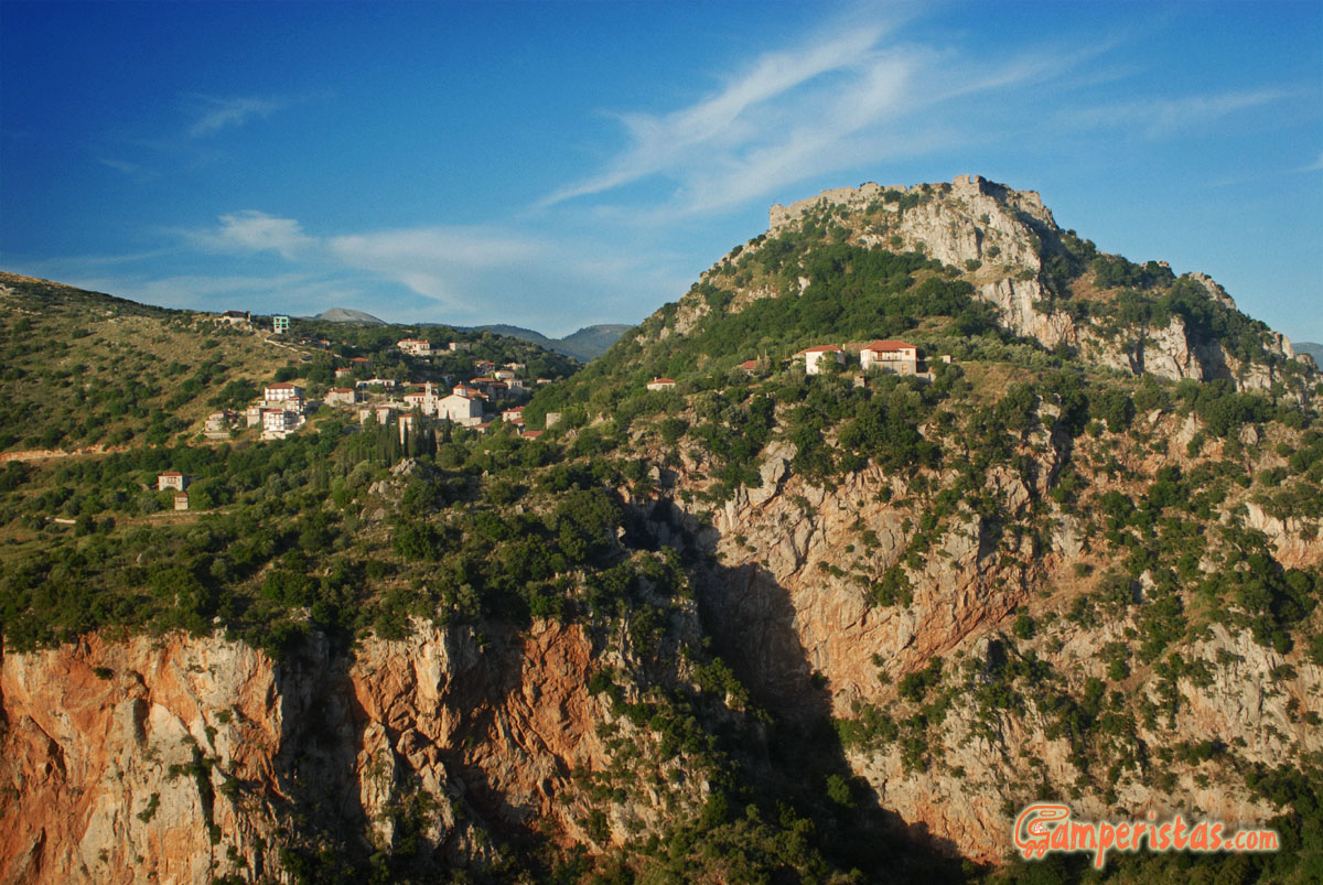 Karitena is located 500 meters above sea level, built over the gorge of the river Alfeios, with a characteristic castle. The village is also famous because it was depicted on old 5,000 drachmas banknotes.
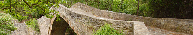
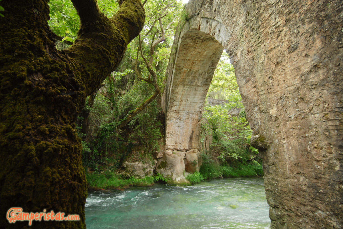
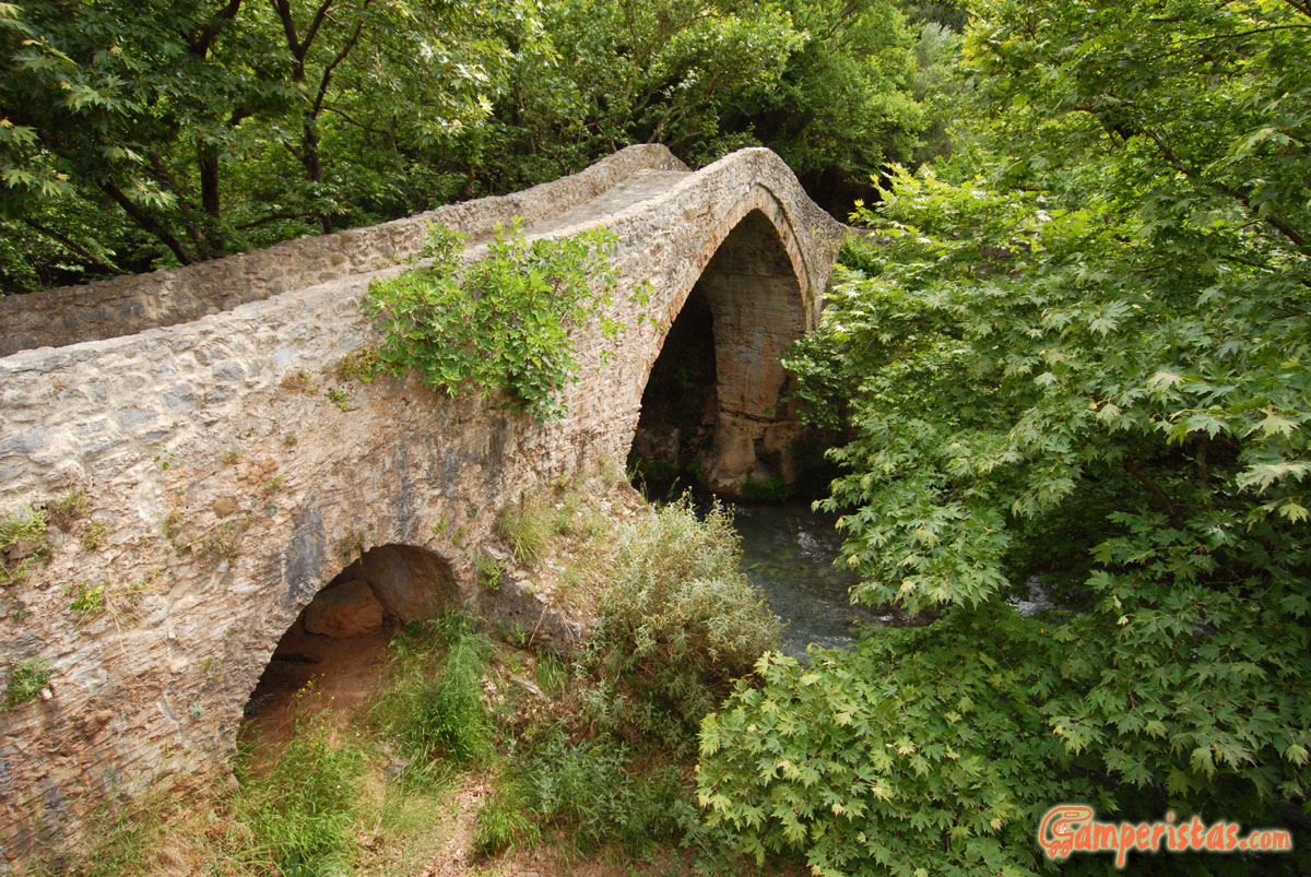
 Following the road that exits the village to the north, towards Loutra Ireas, after descending about 5 kilometers you will get to old stone bridge ‘Atsiholo’ over the river Lousios.
[N 37.511479, E 22.038219]
This is the starting point for excursions by canoe and rafting that can be organized in Karitena.
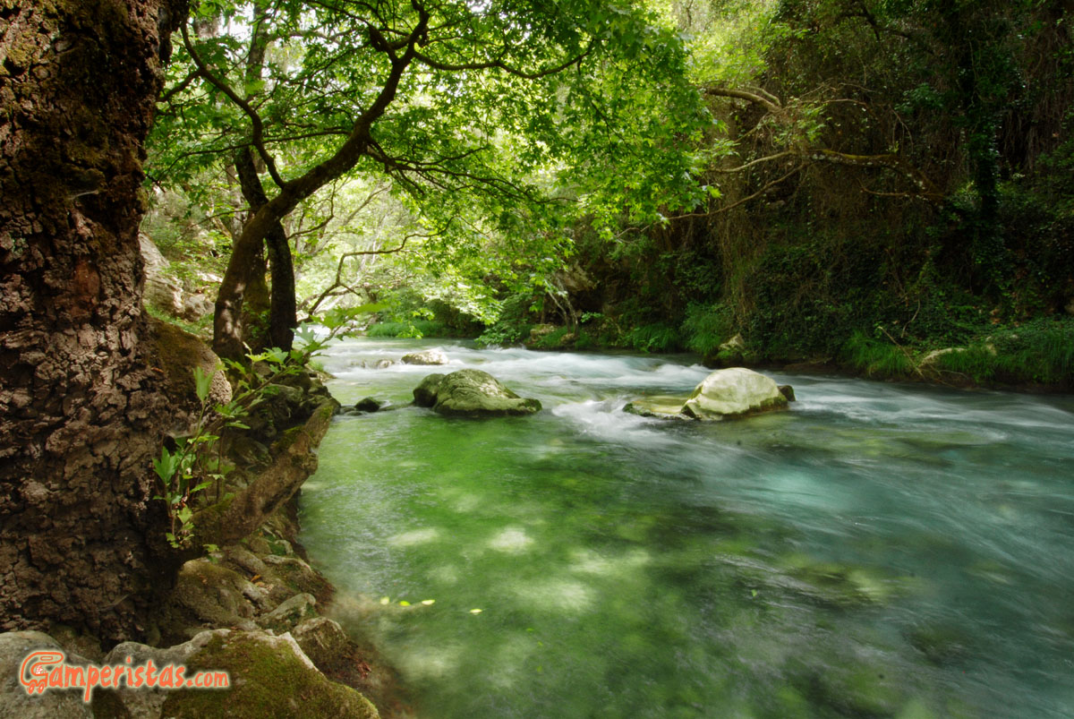
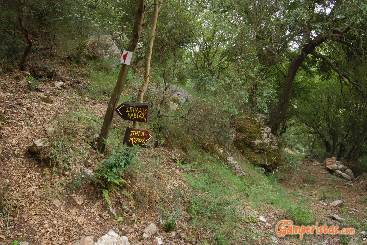
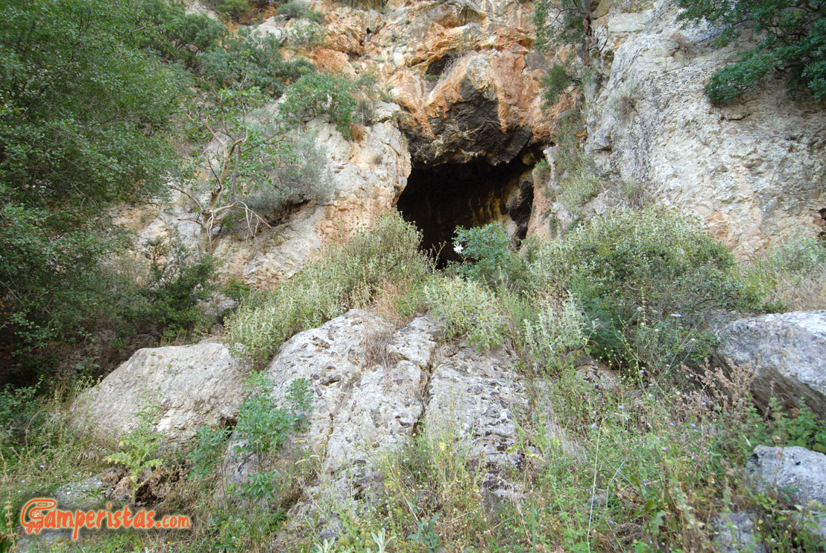
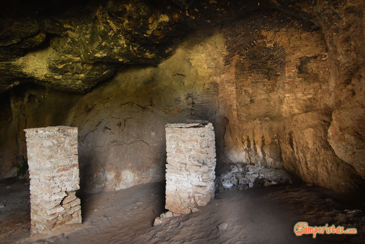
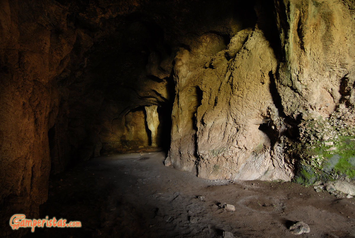
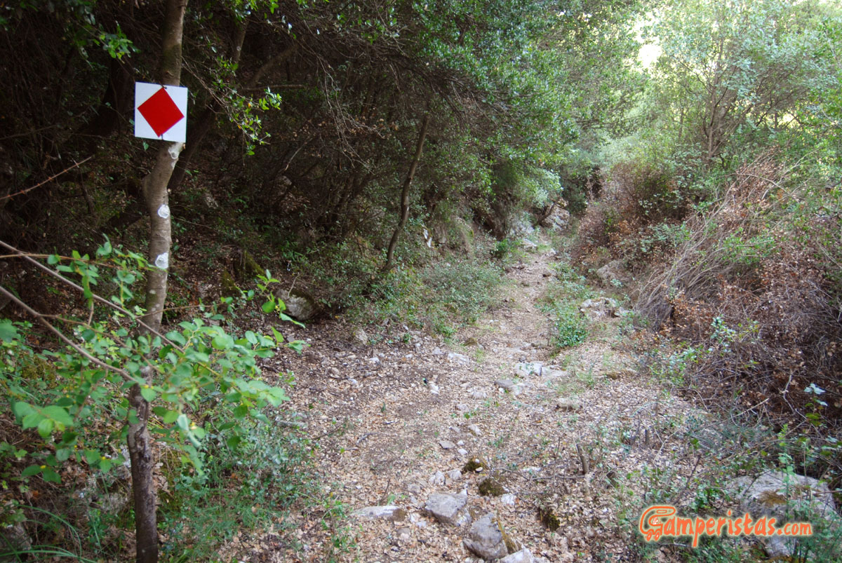 A pleasant hike is to the cave of Kavià and the old water mill on the river Alfeios. From the village signs indicate the beginning of the path, that starts behind the cemetery’s church.
[N 37.485349, E 22.040346]
The path is very well marked (in red). It takes about 45 minutes to reach the cave at a normal pace. Wearing closed shoes and long pants is a must.
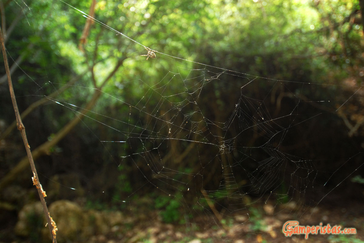 Going down the path you have to pay a little attention to the’ guardians of nature’. Spiders of all shapes and sizes create their traps on the path and in order to avoid close encounters a stick can be very useful. Watch out for snakes too, even if they usually mind their own business. 😉
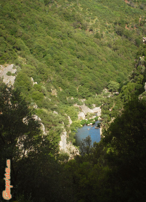
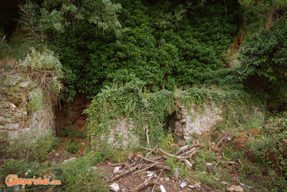
At the fork, take the left to go to the cave in less than 5 minutes, the right path takes down to the river.
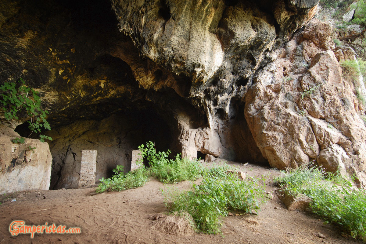
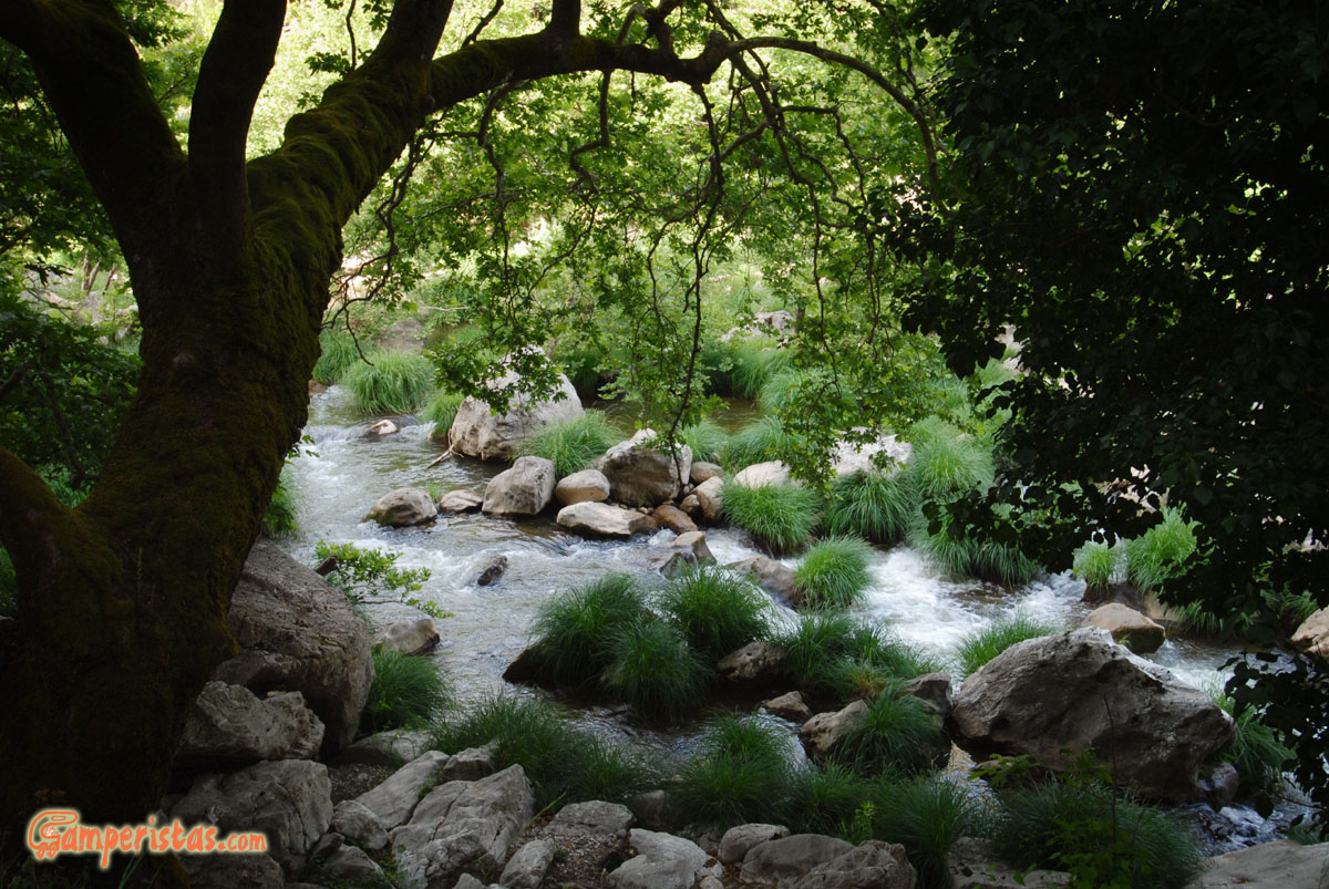
Continuing towards the river, you will encounter the ruins belonging to an old and unrecognizable water mill. The trail ends when it comes to a nice opening on the river.
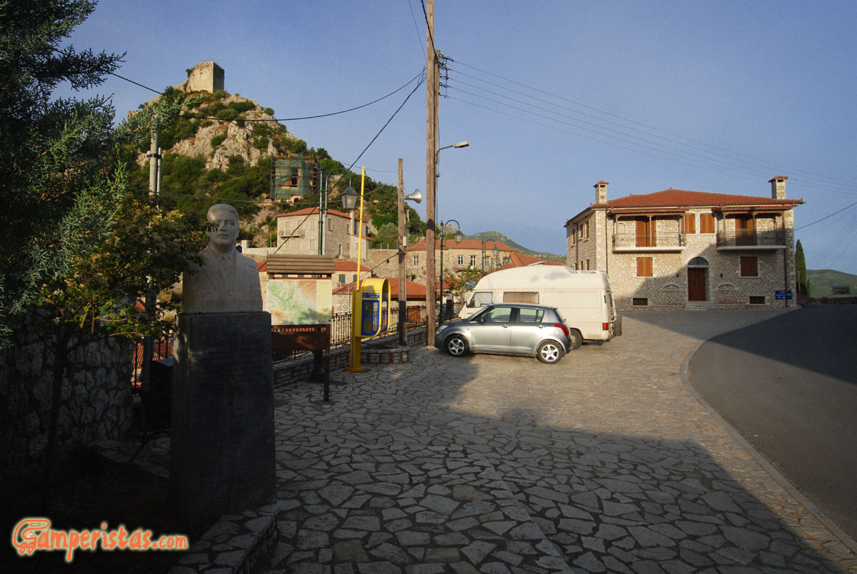 We stopped for the night in the square below the castle [N 37.484979, E 22.041075], in front of which there is also a convenient water fountain with screw tap. Larger vehicles can easily park a little further, at the side of the road leading to Loutra Ireas.
[N 37.48599, E 22.040504]
[sam id=”7″]