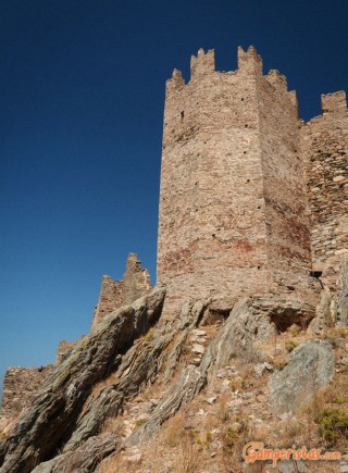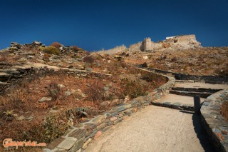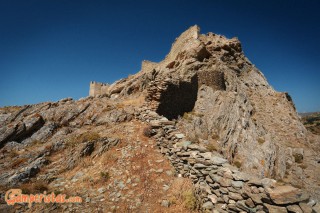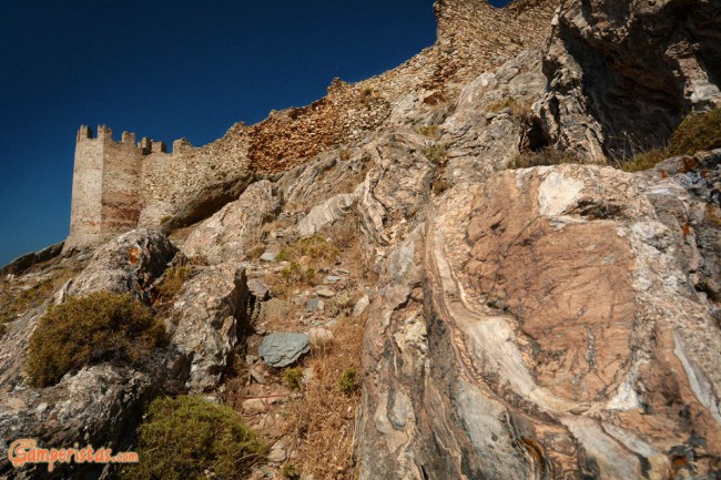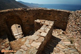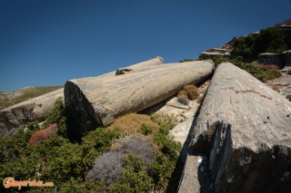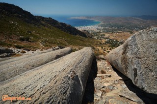
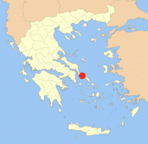
 The strong wind blew away our desire to hang around the beach. Instead of suffering next to the stormy sea, we decided to visit the Venetian fortress which stands on a hill above the town of Karystos and also, weather permitting, to explore the Roman quarries situated further up the mountain Ochi. This place was famous since antiquity for its particular, colorful marble and still has a kind of mystic atmosphere. Definitely worth the hike!
[sam id=”7″]
The fortress is known as Castello Rosso (Red Castle) and is located at the top of the village Myli or Myloi. Be careful because the direction signs from Karystos to “Myloi” are not the usual blue ones but brown of undefined type; speaking for myself (and I am Greek!), I thought that “Myloi” was a tavern or, as the word indicates, mills. Anyway, the distance from the center of Karystos is merely 4 km.
Directions to get to the fortress: just before the village, there is a crossroad without any indication. Go left and after a short distance you will reach the parking area of Castello Rosso [38.0336,24.43278]. The 300m climb to the castle’s entrance was quite an adventure because of the strong wind…
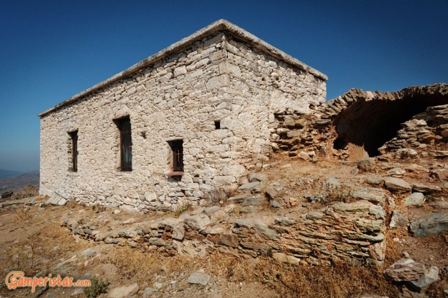
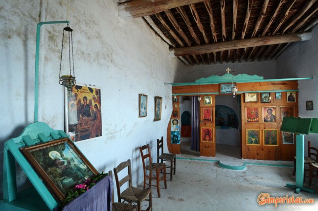
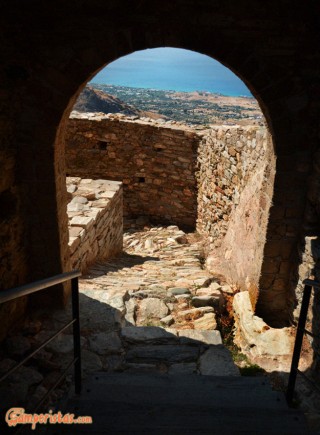
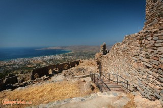
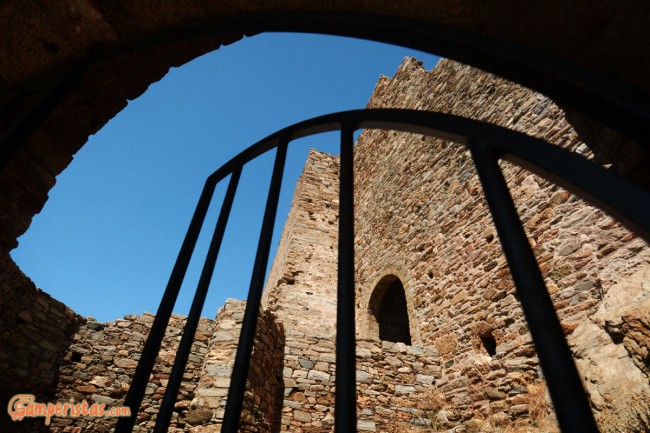
The entrance to the caslte is free (no ticket). Except for the small church of Profitis Ilias and the ruined bastions, there are not much to be seen inside the fortress. Nevertheless, if you like abandoned castles, you’ll enjoy the place as we did. If not, the view is spectacular…
For those interested, the castle was built in the early 1200 by the Lombards, on the remains of a fort constructed by the Byzantines two centuries before. After being occupied by various owners, it was in use until the liberation of Karistos from the Turks in 1833.
After we finished our visit to the castle, fighting with the wind and literally struggling to stand upright, we returned to our shaking camper hoping to find the starting point of the path leading to the ancient marble quarries.
Heading back to the junction, this time we took the road to Mili where we just… asked for directions from a local. The site of the quarries is known there as “Kyrlindri”. The GPS coordinates of the trail are 38.03570,24.43968, BUT the road to get there is very narrow and absolutely not appropriate for medium and large motorhomes. I’m afraid that there are more bad news! It’s very difficult to find a parking lot or a turnaround point.
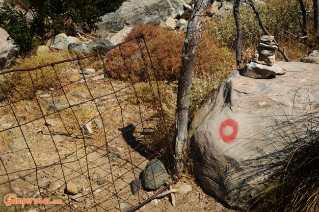
My advice: it’s better to leave your camper near the junction and walk an extra kilometer uphill. The trail is well marked with red markers and stacked stones. To get to the columns it takes about 40 minutes of ascent, but it is definitely worth it!
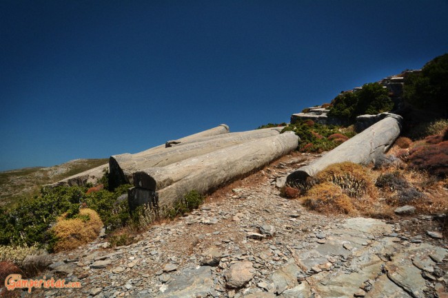
The coordinates of the columns are 38.037833,24.447122
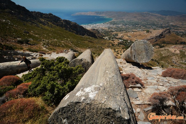
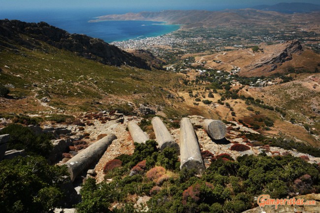
The photos can capture the majesty of the columns only to a certain extent. Just to get an idea about the scale, look on the left of the picture above. The “black dot” it’ s me!
The marble is called ‘cipollino’ because of its onion patterns and it was highly sought after by the Romans. These abandoned, massif columns reminded me that all the masterpieces of the ancient monumental architecture and art were originally part of the earth. For instance, the columns of the Antoninus Pius and Faustina temple in Rome or the Hadrian’s Library in Athens come from this exact site.
If you are in Euboea, this is a ‘not-to-be-missed” place. The scenery isn’t bad either!
[sam id=”7″]

