
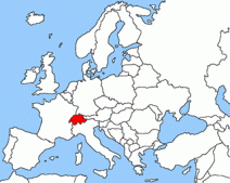
 From Bellinzona we set Chur as our new target, after a quick glance at the map we decide without any doubt to take of the road of San Bernardino and cross the pass at 2,066 meters above sea level. It is only about 120 km and we have no hurry to arrive, so as always we prefer to avoid the boring highways and have a wonderful journey…
[sam id=”7″]
 A short post, but it gives me the opportunity to insist on one of my obsessions: avoid motorways!.
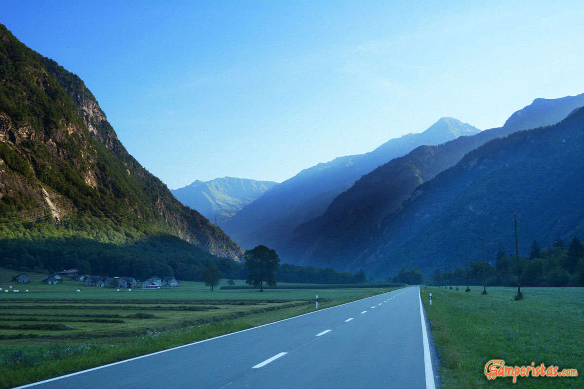
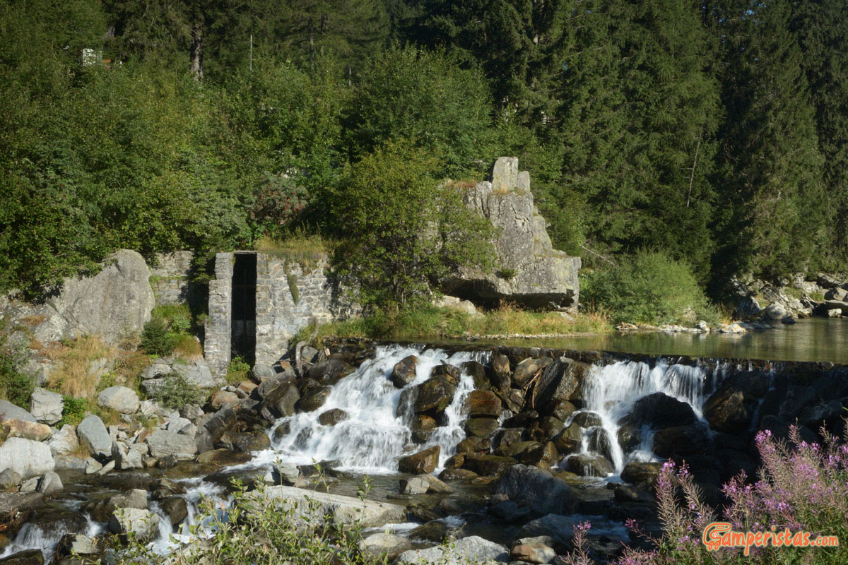
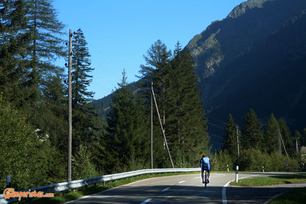
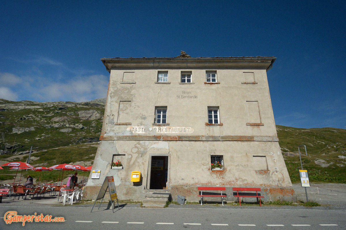
To cover the 120 kilometers it took us more than 5 hours. We stopped in San Bernardino to make us a coffee, we took a walk along the small lake of Moesola, another hike along the river Hinterrhein, on the banks of which we later stopped to eat. Along the objectively often narrow and very winding road, we met almost only bicycles, motorbikes and a very few other cars, half of which were Dutch and German RVs. And have been so many times that, crossing the highway and its tunnel, we said -do you realize what they’re missing?
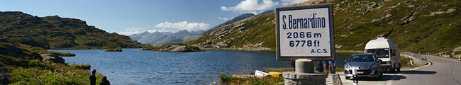
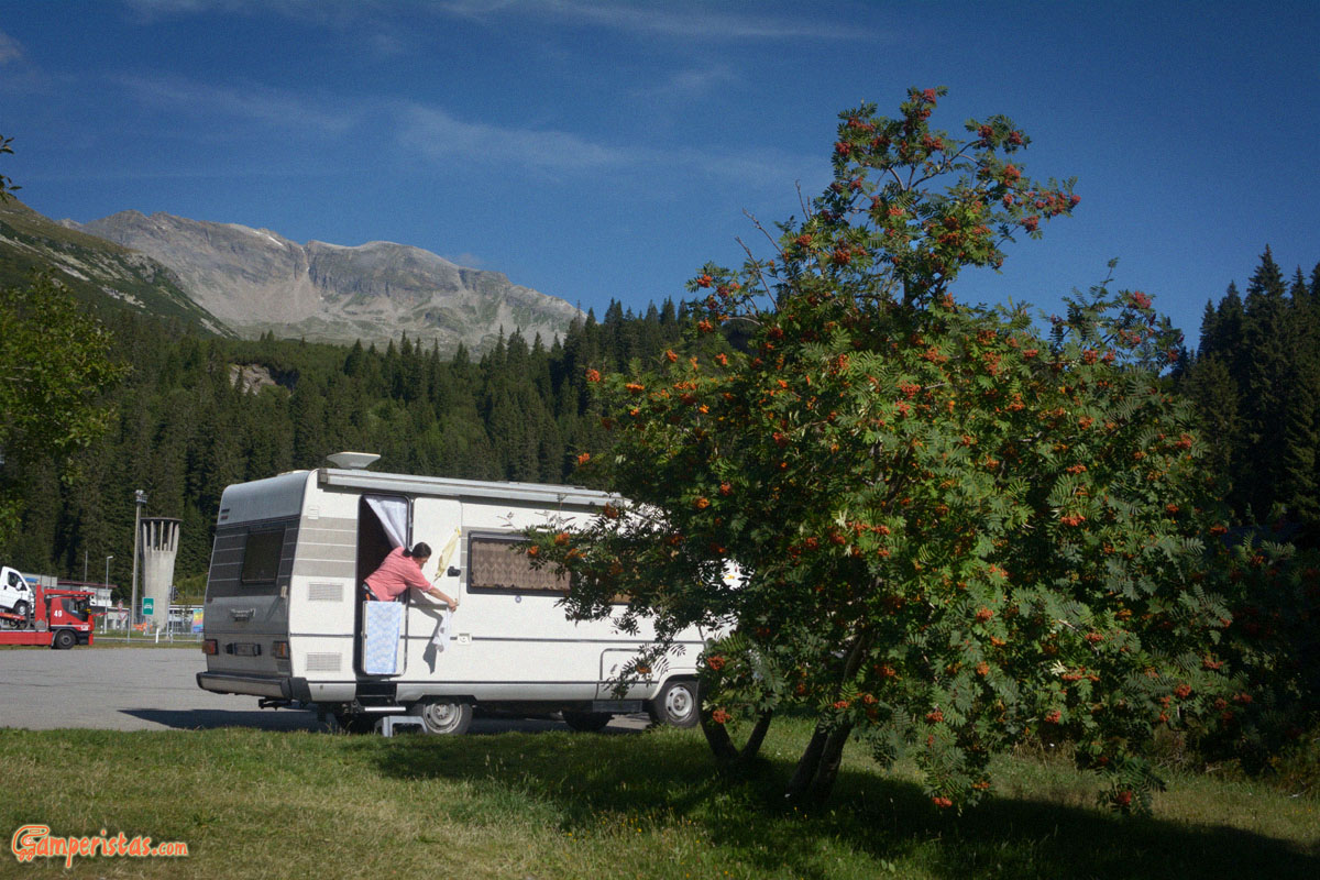 On the side a fellow motorhomer in the parking lot of San Bernardino.
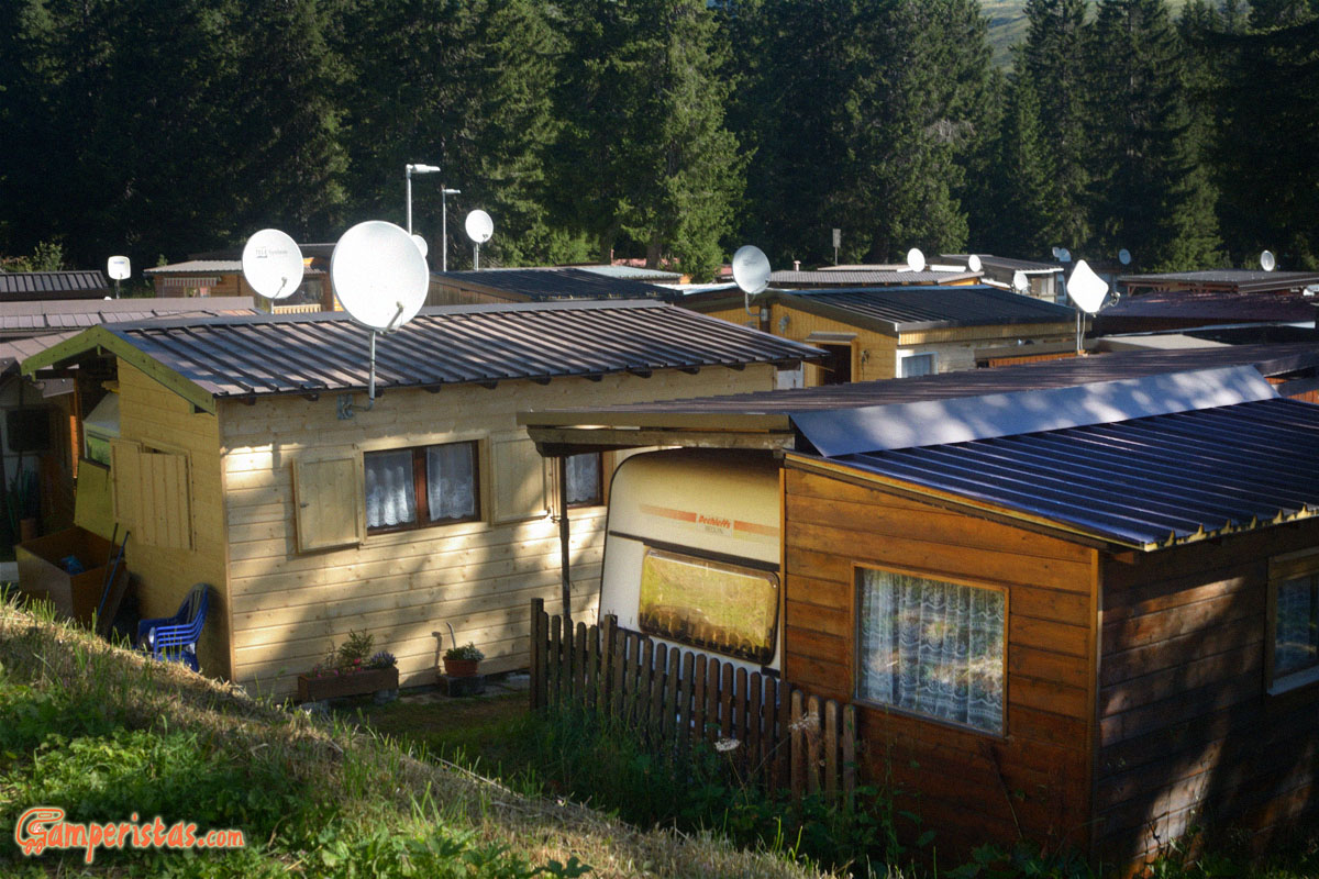
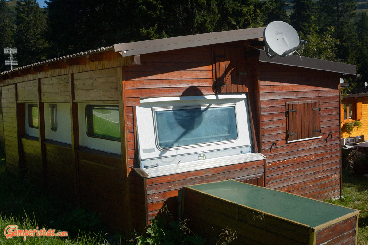
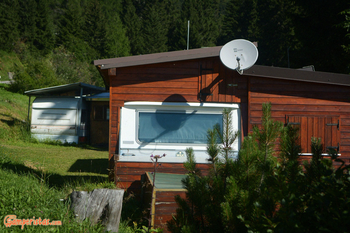
Below a curious campsite, just outside the village… they couldn’t be more permanent! 🙂
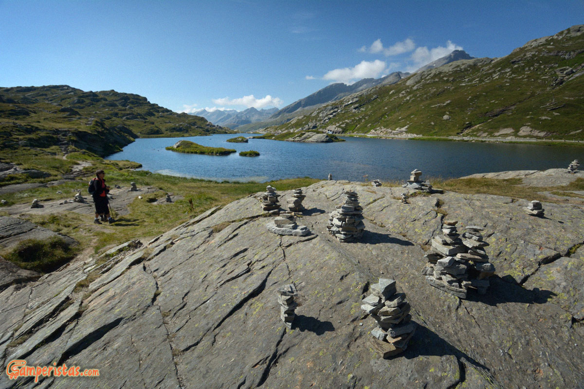
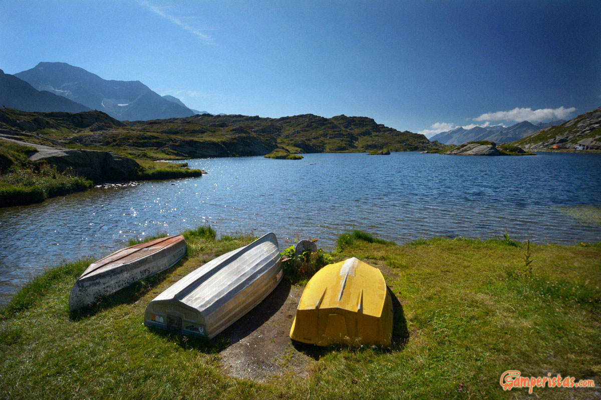
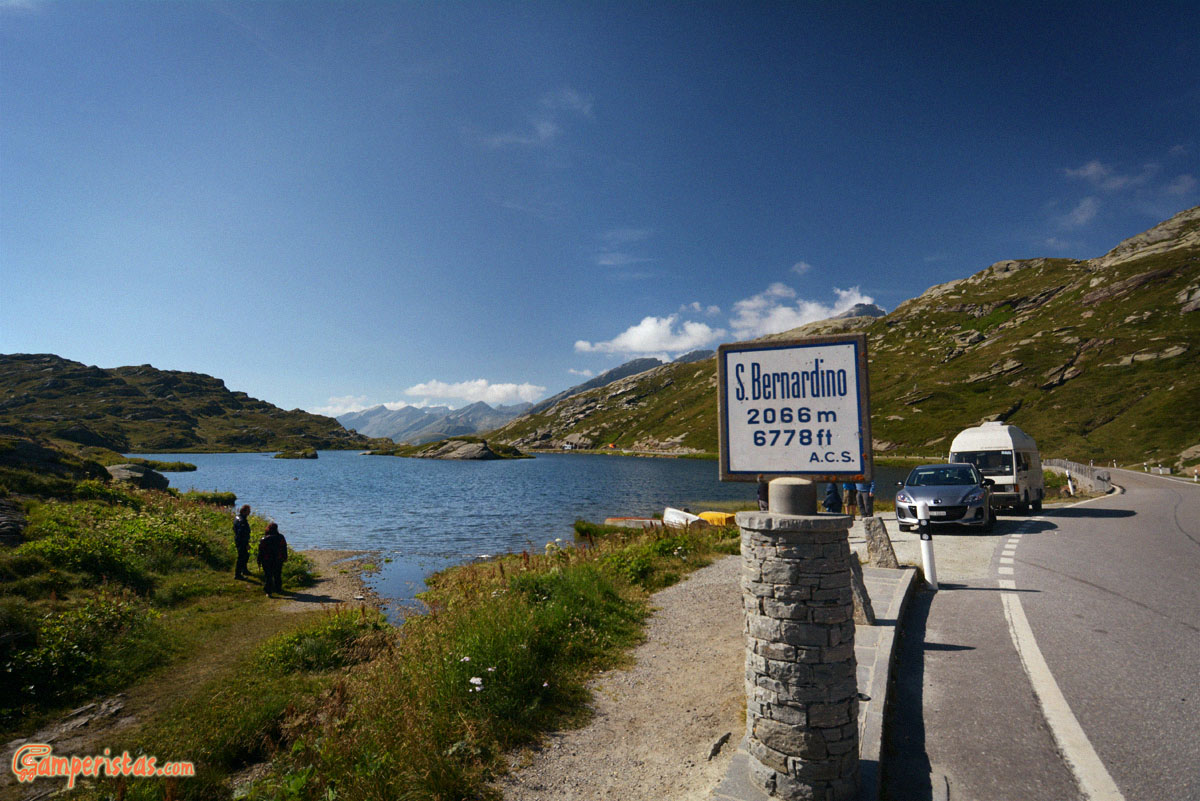 The San Bernardino Pass and the small lake of Moesola. Unable to resist the temptation to stretch your legs and take a walk.
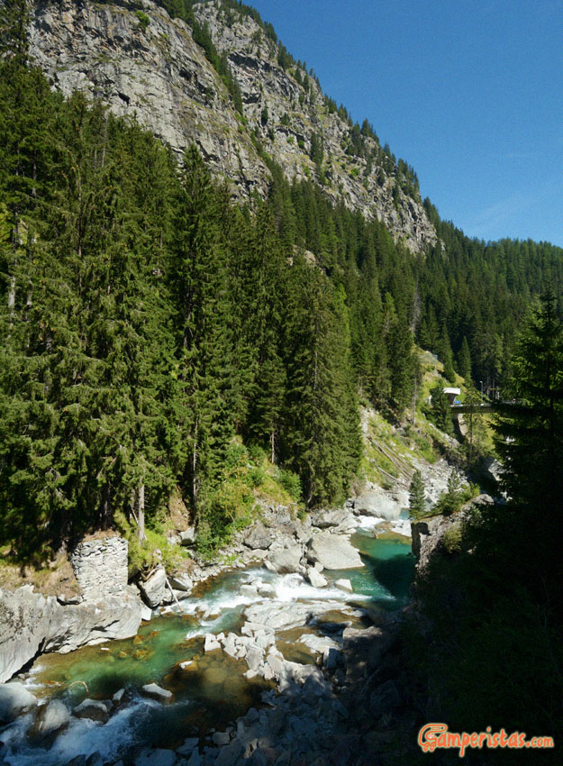
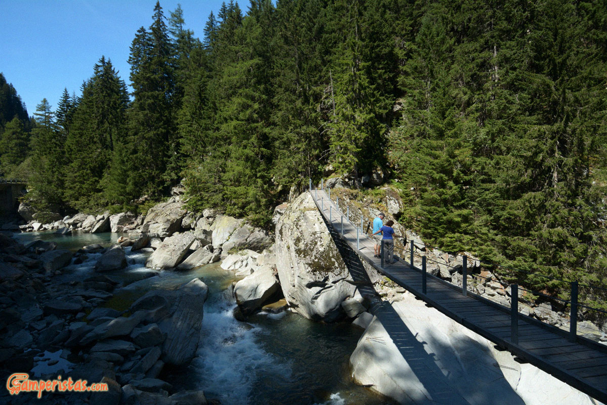
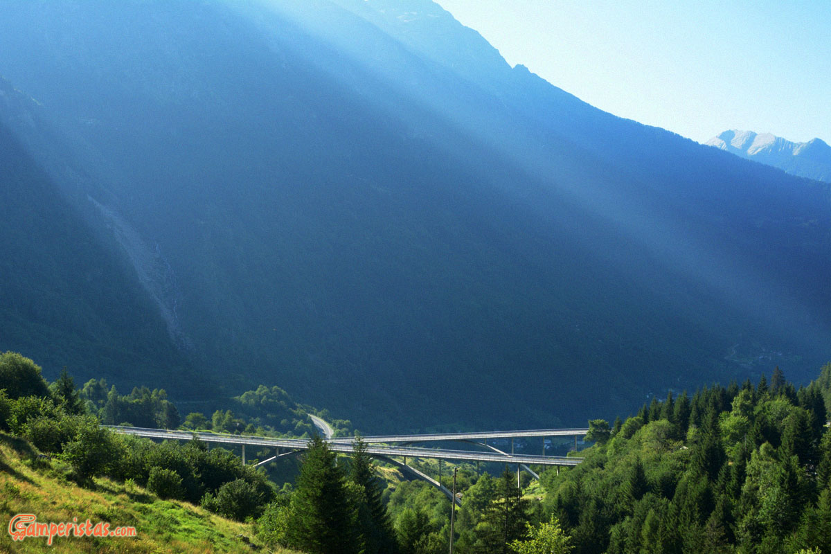
The road runs along the river Hinterrhein, in some spots you can cross it through suspended bridges like the in the photo above.
Once again I did not regret having chosen the most difficult road! 😉
[sam id=”7″]